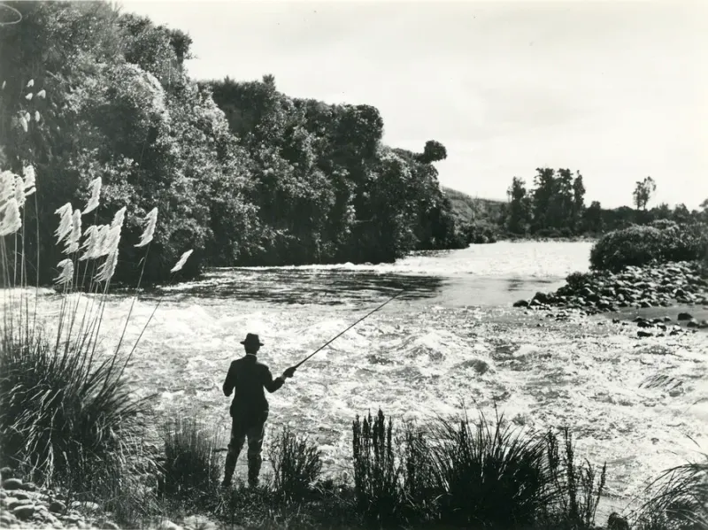
Hurunui River is a North Canterbury Fish & Game page for anglers who need to separate ordinary downstream salmon planning from Upper Hurunui controlled-fishery planning. The current regulations include several Hurunui rows before the downstream South Branch confluence salmon row appears.
That makes this page different from the Upper Hurunui controlled-fishery guide. The existing controlled-fishery page owns the booking, Designated Waters, and branch receipt problem. This page covers the wider Hurunui row choice, especially the South Branch confluence and downstream Note 13 salmon layer.
Hurunui River Decision Path
Start by locating the water around Lake Sumner, South Branch confluence, and controlled/designated areas.
| Planning layer | Hurunui decision |
|---|---|
| L1 authority | North Canterbury Fish & Game |
| L2 water | Hurunui River, branches, tributaries, and downstream salmon water |
| L3 action | Check Upper Hurunui boundary, South Branch confluence, Note 13, flow, and buying |
Do not treat an Upper Hurunui booking question as the same thing as a lower Hurunui salmon day. The official rows and permission layers can be different.
Current Hurunui Rule Rows
As checked against the 2025/26 North Canterbury regulations, the Hurunui row changes repeatedly around Lake Sumner and South Branch confluence.
| Hurunui water or section | Season | Methods | Daily bag shown | Size | Notes |
|---|---|---|---|---|---|
| Hurunui River and tributaries upstream of the marked grid reference 500 m upstream of Lake Sumner | 1 Oct-30 Apr | FS | 1 trout | 300 mm regional minimum | Notes 1, 2, 9, 11, 12 |
| Hurunui River upstream of Lake Sumner | 1 Oct-30 Apr | FS | 1 trout | 300 mm regional minimum | Notes 1, 2, 9 |
| Hurunui River between Lake Sumner and South Branch confluence | All year | FS | 2 trout | 300 mm regional minimum | Notes 1 and 2 |
| South Branch upstream of North Esk River confluence | 1 Oct-30 Apr | FS | 1 trout | 300 mm regional minimum | Notes 1, 2, 9, 11, 12 |
| South Branch downstream of North Esk River confluence | 1 Oct-30 Apr | FS | 1 trout | 300 mm regional minimum | Notes 1, 2, 9 |
| Hurunui River tributaries above the South Branch confluence | 1 Oct-30 Apr | FS | 1 trout | 300 mm regional minimum | Notes 1 and 2 |
| Hurunui River below the South Branch confluence, trout row | Trout: all year | FSB | 2 trout | 300 mm regional minimum | Notes 1 and 2 |
| Hurunui River below the South Branch confluence, salmon row | Salmon: 1 Oct-30 Apr | FS | Salmon refer Note 13 | 300 mm regional minimum | Notes 1, 2, 13 |
FS means artificial fly and spinner. FSB adds bait. Notes 11 and 12 mark the Designated Waters and controlled-fishery layer for the upper areas; they are not optional extras during the controlled period.
South Branch And Upper Hurunui Boundaries
The South Branch confluence is the L3 trap for ordinary downstream planning. Upper North Branch and South Branch controlled areas are a separate special-water problem.
| Boundary question | Planning action |
|---|---|
| Upper North Branch controlled/designated area | Open the separate Upper Hurunui controlled-fishery guide before fishing |
| South Branch upstream of North Esk River confluence | Check Designated Waters and controlled-fishery notes where they apply |
| Between Lake Sumner and South Branch confluence | Check all-year FS trout row and 2-trout limit |
| Below South Branch confluence, trout plan | Check all-year FSB trout row and 2-trout limit |
| Below South Branch confluence, salmon plan | Check 1 Oct-30 Apr FS salmon row and Note 13 sea-run salmon sources |
Do not copy Rakaia's white-post line or Waimakariri's Staircase Gully into Hurunui. The official Hurunui cues are Lake Sumner, South Branch, North Esk, and the controlled/designated boundary.
Sea-Run Salmon Buying
For lower Hurunui trout-only planning, choose the Fish & Game licence category after the reach, method, season, and access are clear. For lower Hurunui salmon planning, add Note 13 and the current Fish & Game sea-run salmon source.
| Angler plan | Buying path |
|---|---|
| Lower Hurunui trout-only trip | Confirm downstream all-year trout row, FSB method, and access before buying |
| Lower Hurunui salmon trip | Confirm Fish & Game licence plus Note 13 sea-run salmon licence/card checks |
| Upper Hurunui controlled-fishery trip | Check whole-season licence, Designated Waters licence, booking, receipt, and branch |
| Non-resident visitor | Check non-resident Fish & Game options and special-water requirements |
| Hurunui plus Rakaia or Waimakariri | Check each named river because the boundary cues and salmon notes differ |
North Canterbury's Note 13 says salmon anglers in sea-run salmon waters need the salmon licence/card layer and must follow the season-bag-card recording and return requirements.
Access, Flow, And Braided-River Conditions
Fish & Game's North Canterbury material treats Hurunui as both a salmon river and an upper-river special-water planning problem. Environment Canterbury's Hurunui River at Mandamus page adds a current flow check before a legal row becomes a practical trip.
| Practical question | Safer check |
|---|---|
| Is the access public and practical? | Check Fish & Game access information, local signs, roads, and permission |
| Is the river fishable today? | Check Hurunui River at Mandamus flow, weather, visibility, and backup water |
| Is salmon the target? | Open Note 13 and current Fish & Game sea-run salmon sources before fishing |
| Is the plan in controlled water? | Open the Upper Hurunui controlled-fishery page before buying |
| Is gear moving from another water? | Clean and dry gear before changing waterways |
Treat flow information as a current-condition check, not a safety guarantee. A Fish & Game licence does not grant private access, remove a booking requirement, or make braided-river crossings safe.
Before Fishing Hurunui River
- Confirm the session is North Canterbury Fish & Game freshwater.
- Place the water around Lake Sumner, South Branch confluence, North Esk River confluence, or the lower river.
- Check whether the water is in the Upper Hurunui controlled/designated area.
- Open the current North Canterbury regulations and match season, methods, daily bag, and notes.
- If salmon are part of the lower-river plan, open Note 13 and the current Fish & Game sea-run salmon sources.
- Confirm access, river flow, weather, local signs, and clean-gear steps.
- Buy the correct Fish & Game and any special-water or salmon-specific permissions only after the exact reach is clear.
Hurunui River is ready for purchase only when the upper special-water boundary, South Branch confluence, downstream salmon row, Note 13, and braided-river condition checks have all been handled. A generic Hurunui search is not a complete licence answer.
FAQ
Do I need a Fish & Game licence for Hurunui River?
Yes. Hurunui River is North Canterbury Fish & Game freshwater, subject to the current regional regulations and the exact reach or branch being fished.
Is the Hurunui River page the same as Upper Hurunui controlled fishery?
No. This page focuses on the broader Hurunui rule rows and the downstream South Branch confluence salmon check. The upper controlled-fishery areas need the separate Upper Hurunui guide.
Do Hurunui salmon trips need Note 13 checks?
The current downstream Hurunui salmon row refers to Note 13, so open Fish & Game's current sea-run salmon sources before fishing for salmon.
What authority applies at Hurunui River?
The freshwater sports-fishing authority is Fish & Game North Canterbury. MPI marine rules apply only to separate coastal or saltwater fishing.
What is the Hurunui River rule trap?
Do not flatten the river into one rule. Lake Sumner, the South Branch confluence, and upper controlled/designated areas all change the plan.