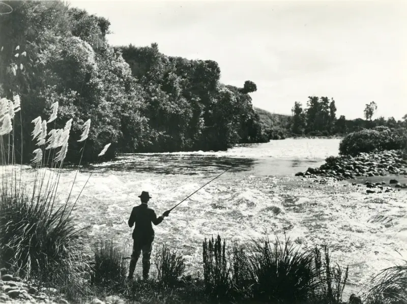
Tukituki River planning starts with the exact reach, not with a broad Hawke's Bay licence answer. It is a Fish & Game Hawke's Bay freshwater trout water, but the current regional PDF splits the named river at State Highway 50 Road Bridge and Red Bridge, and those lines change season, method, and daily limit decisions.
That matters because a normal fishing plan is practical: where to access the river, whether the reach is open, what method is allowed, how many trout may be kept, and whether a visitor licence or neighbouring-region boundary changes the purchase. Treat Tukituki as a named-river check, then let the current Hawke's Bay rule row and access layer decide the day.
Begin with the water you will fish
Start by writing the planned water in one line. If the line does not include a reach, bridge, tributary, or access point, it is not specific enough for a licence-duration decision.
| Trip description | Better next step |
|---|---|
| Tukituki River upstream | Confirm whether it is upstream of State Highway 50 Road Bridge and whether the date fits the seasonal row |
| Tukituki between SH50 and Red Bridge | Confirm middle-reach method and bag settings |
| Tukituki below Red Bridge | Confirm lower-reach bait wording and access |
| Waipawa or tributary | Reopen Hawke's Bay rules because Tukituki main-river rows exclude tributaries |
| Hawke's Bay trout rivers generally | Start with the Hawke's Bay guide before opening a named-water guide |
Reach wording changes the rule, so a broad "Tukituki River" search still needs a more exact location before the fishing day is settled.
Start with the exact Tukituki reach
The current Hawke's Bay PDF lists three Tukituki River rows, and each row excludes tributaries. Before choosing a licence duration or packing bait, identify whether the plan is upstream of State Highway 50 Road Bridge, between State Highway 50 Road Bridge and Red Bridge, downstream of Red Bridge, or on a tributary.
| Planned water | First decision before fishing |
|---|---|
| Upstream of State Highway 50 Road Bridge | Check the seasonal window first, because this reach is not listed all year |
| State Highway 50 Road Bridge to Red Bridge | Check method and daily bag for the middle reach, then confirm access |
| Downstream of Red Bridge | Confirm that bait is allowed only in this lower reach, not across the whole Tukituki system |
| Tukituki or Waipawa tributary | Reopen the Hawke's Bay rules because the Tukituki main-river rows exclude tributaries |
| Nearby Taupo, another Fish & Game region, or coast day | Reclassify the water before relying on a Tukituki licence or method decision |
Licence authority
Use a Fish & Game licence for sports-fish angling on the Tukituki River. A Fish & Game licence is valid nationally except for Taupo, but that broad coverage does not remove the need to read the Hawke's Bay named-water row before fishing.
For the product decision, start with the Fish & Game licence guide. Overseas visitors should check the non-resident licence guide before relying on a short Hawke's Bay day plan. If the trip moves to Lake Taupo or another Taupo Fishing District water, switch to the DOC Taupo path for those waters.
| Trip plan | Authority decision |
|---|---|
| Tukituki River trout fishing only | Fish & Game Hawke's Bay |
| Tukituki plus another Hawke's Bay river | Fish & Game Hawke's Bay, but reopen the named-water row for the second river |
| Tukituki plus Lake Taupo | Fish & Game Hawke's Bay for Tukituki; DOC Taupo for Taupo District waters |
| Tukituki plus another Fish & Game region | Fish & Game Hawke's Bay for Tukituki; current regional rules for the other water |
| Tukituki plus a coastal day | Fish & Game for freshwater; MPI marine rules for sea fishing |
Reach rules in the current Hawke's Bay PDF
The Hawke's Bay PDF is the rule source for the rows below. Fish & Game river pages and access pages are useful for context, but the current regulations PDF and gazetted Anglers Notice are the authority to use when wording differs.
The PDF uses method letters: F for artificial fly, S for spinner, and B for bait. For a fishing plan, the important point is that bait appears only in the lower Tukituki row.
| Tukituki reach in the Hawke's Bay PDF | Season | Methods | Daily bag | Planning implication |
|---|---|---|---|---|
| Upstream of State Highway 50 Road Bridge, excluding tributaries | 1 Oct-30 Jun | Fly and spin | One trout | Seasonal reach; do not apply the all-year lower-river answer here |
| State Highway 50 Road Bridge to Red Bridge, excluding tributaries | All year | Fly and spin | Two trout | Middle reach; bait is not listed here |
| Downstream of Red Bridge | All year | Fly, spin, and bait | Two trout | Lower reach; bait is listed here, but that does not legalise bait upstream |
All three Tukituki rows point to Fish Length Note 3. In that note, the special maximum or minimum sizes are named for other Hawke's Bay waters, and "all other waters" are listed as having no minimum or maximum size limit. Treat that as a current-PDF reading for the named reach, not as a permanent promise for future seasons.
The First Schedule also matters on this river. It requires anglers to carry a current sports-fishing licence and produce it to a Fish & Game Ranger on demand. It limits trout and salmon fishing to one assembled rod and running line, caps artificial flies or spinners at three, permits only one bait assembly where bait fishing is allowed, restricts chemically scented lures outside waters where bait fishing is permitted, and prohibits felt-soled waders or footwear when sports fishing.
What each official source decides
Tukituki planning needs several layers in the right order.
| Layer | What it settles |
|---|---|
| Fish & Game licence | Base authority for Hawke's Bay freshwater sports fishing |
| Hawke's Bay 2025/26 PDF | Reach, season, method, daily bag, fish-length note, and general tackle rules |
| Tukituki official river page | River context and why the named water needs its own planning |
| Access-point guidance | Public access, private-land permission, dog restrictions, and practical approach notes |
| Hawke's Bay regional guide | Mohaka, Ngaruroro, Tutaekuri, Waipawa, Lake Tutira, and neighbouring-water routing |
Do not change this order. A useful access point does not legalise the wrong method, and a Fish & Game licence does not make a closed tributary or wrong reach fishable.
Access and river conditions
Fish & Game's Hawke's Bay regulations identify Tukituki/Waipawa rivers and tributaries as waters with an angler access pamphlet. The regional text also describes Hawke's Bay rivers as a mix of headwater fishing and accessible middle or lower reaches, with the Tukituki and tributaries known for dry-fly fishing during warm summer surface-feeding periods.
Those access signals are useful, but they are not legal permission by themselves. Check the official Tukituki river material, the current access-point guidance, landowner permission where required, local signs, river levels, and weather before locking in a short licence window.
If a plan comes from an older access pamphlet, a guidebook, a lodge page, or a map pin, match it back to the current Hawke's Bay regulations for the same reach. A licence confirms the sports-fishing authority; it does not make private land, unsafe water, or a closed tributary fishable.
Access before a short licence
Before locking a short licence window, work through the access question:
- Match the pool, road, or map pin to a Tukituki reach.
- Confirm whether access is public or requires private-land permission.
- Check whether dogs, gates, livestock, or local signs affect the approach.
- Check river level, weather, and whether the reach is safe to cross or wade.
- Keep a backup reach that still matches the same licence and rule path.
The aim is to avoid buying a short licence for a reach that is legal on paper but unusable because the access, flow, or land-permission layer fails.
Tributaries and nearby waters
The Tukituki rows are written with "excluding tributaries", so a tributary should not inherit the main-river answer. Waipawa, Tukituki tributaries, lake water, and other Hawke's Bay river systems each need their own current rule and access check.
For other Hawke's Bay waters, use the Hawke's Bay guide. Mohaka, Ngaruroro, Tutaekuri, Waipawa, Lake Tutira, and headwater routes can all sit inside the same Fish & Game region while still carrying different rule rows, access notes, methods, or seasonal constraints.
For tributaries, the safest planning path is to return to the current Hawke's Bay notice rather than copying the main Tukituki rule row.
Visitor and trip-duration decisions
Tukituki is a Fish & Game water, so residents and visitors choose inside the Fish & Game product set after confirming the reach. For one fixed day, the day licence guide helps separate Fish & Game one-day products from DOC Taupo 24-hour products. For a longer Hawke's Bay trip, the season dates guide is more useful than guessing from one river row.
The main visitor risk is carrying the Tukituki answer into a different authority. A guided Hawke's Bay trout day, a Lake Taupo day, and a coastal day may sit in the same holiday, but they do not share one rule system. Use the Fish & Game vs DOC Taupo comparison when a trip jumps between Hawke's Bay and Taupo.
| Visitor scenario | Planning note |
|---|---|
| One fixed Tukituki day | Confirm reach and access before buying the shortest Fish & Game product |
| Tukituki plus Mohaka | Stay in Fish & Game Hawke's Bay, but reopen rules for the second river |
| Tukituki plus another Fish & Game region | Keep the Tukituki day in Hawke's Bay, then check the current regional PDF for the other water |
| Tukituki plus Lake Taupo | Add DOC Taupo licence and Taupo rules |
| Tukituki plus coast | Add MPI marine rules for the saltwater part |
Before fishing Tukituki River
- Confirm the exact water: Tukituki main river, tributary, Waipawa system, another Hawke's Bay river, Taupo water, or coast.
- Confirm Fish & Game Hawke's Bay for the Tukituki reach.
- Choose the correct resident or non-resident Fish & Game licence.
- Open the current Hawke's Bay PDF and match the reach to season, methods, daily bag, and Fish Length Note 3.
- Check whether bait is actually allowed on the planned reach.
- Check access guidance, land permission, river level, weather, local signs, and gear rules such as the felt-sole prohibition.
Conclusion
Tukituki River is not a single-rule Hawke's Bay paragraph. The useful decision is reach first: upstream of State Highway 50, State Highway 50 to Red Bridge, downstream of Red Bridge, or a tributary. Keep the water in the Fish & Game Hawke's Bay lane, then let the current PDF, access guidance, and visitor boundary checks settle the fishing day before buying, travelling, or keeping trout.